Over the mountains of Georgia
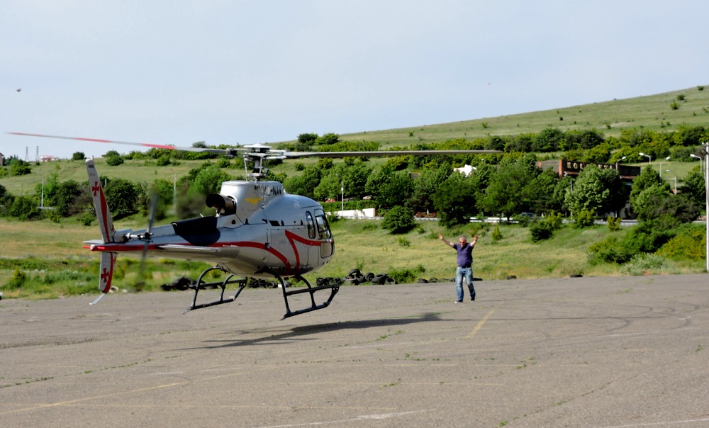
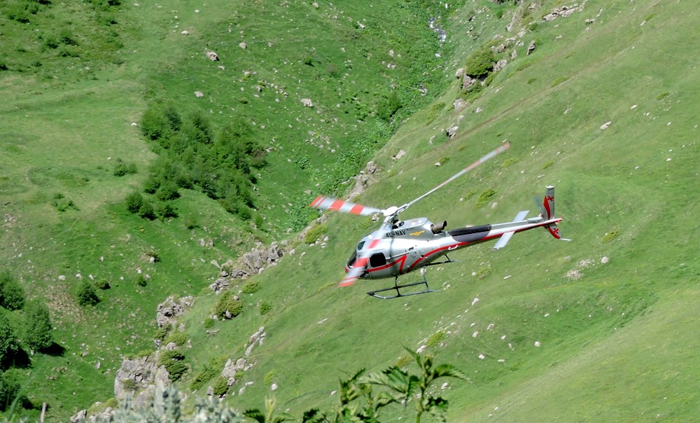
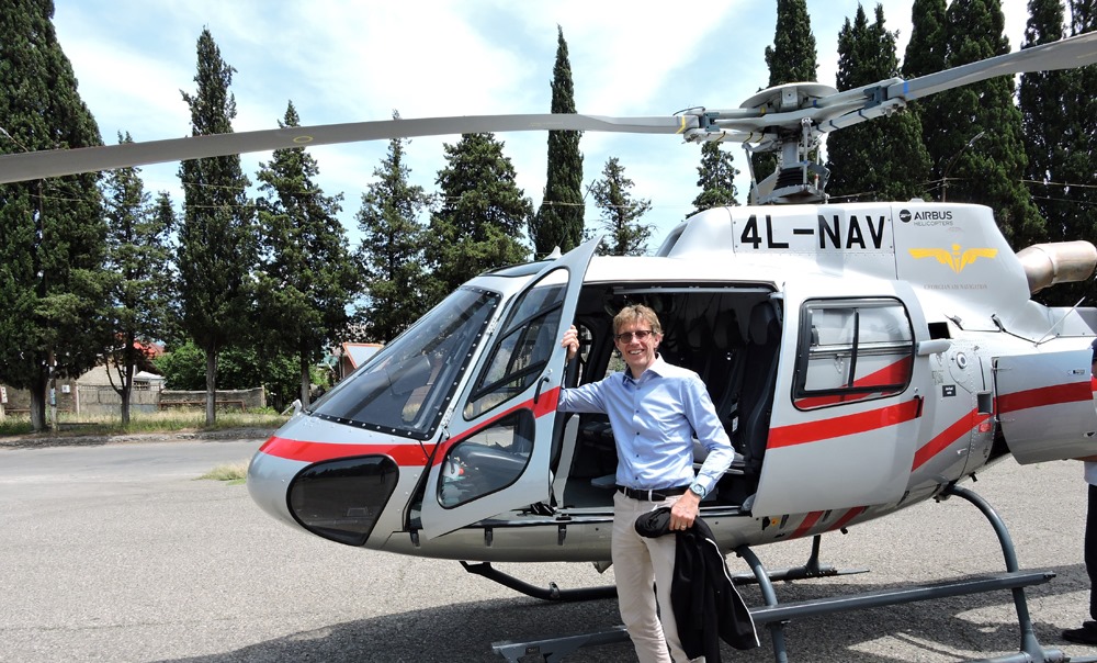
Helicopter excursion “Over the mountains of Georgia” is a new product of Sky Travel. Despite the high cost, it has a steady demand from our guests.
We start from Mtatsminda from the site located 15 minutes from the city center, and in a few minutes, we leave Tbilisi.
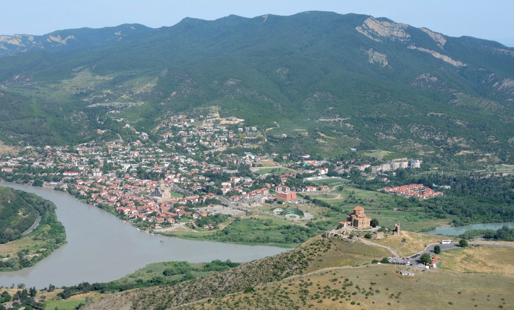
We fly over Mtskheta, the ancient capital of Georgia, and go towards Stepantsminda.
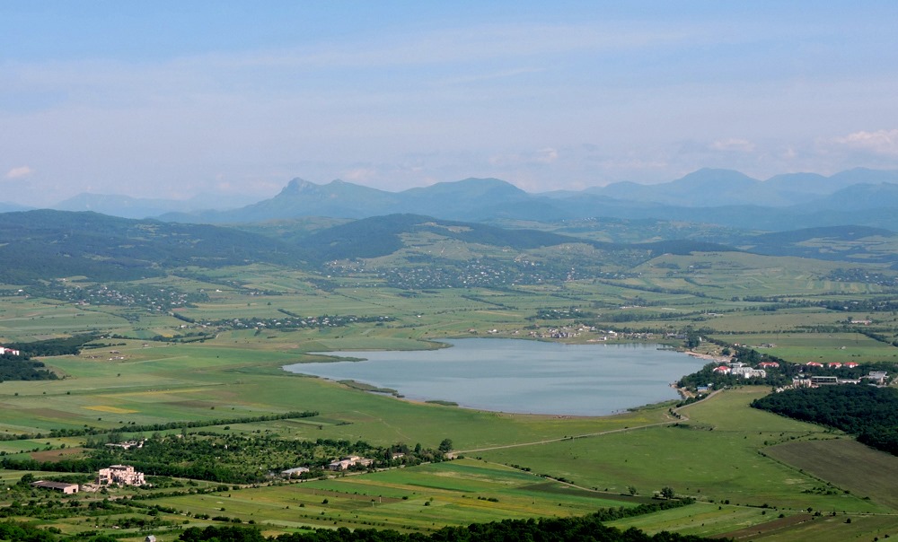
On the left we see the lake Bazaleti and the foothills of the Greater Caucasus …
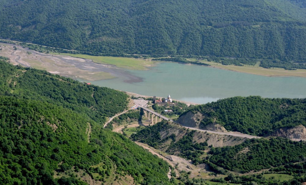
On the right in a couple of minutes – Ananuri, an ancient fortress that covered the approaches to Mtskheta from the north.
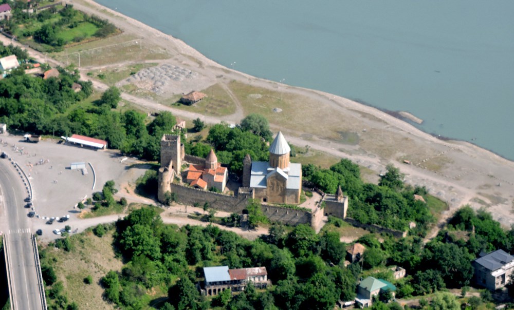
We fly around Ananuri at a low altitude and move on.
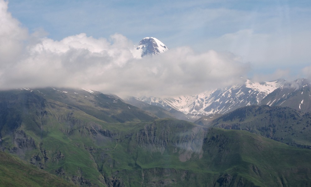
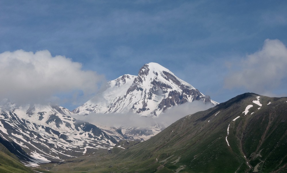
Here it is Kazbek!
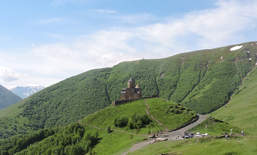
And beneath it is Mount Gergeti, where the Holy Trinity Temple is located.
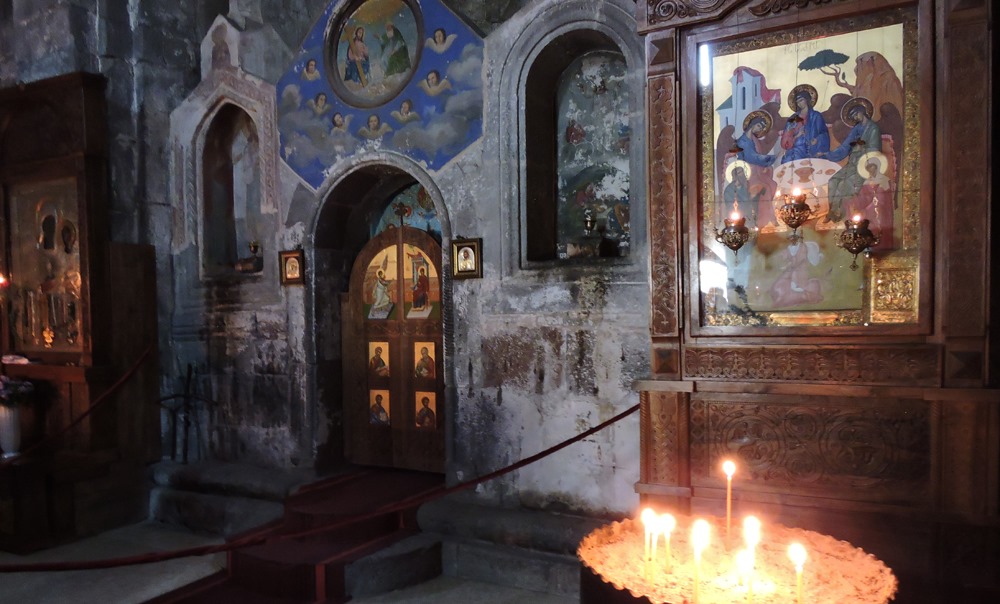
The interior of the temple (XIV century)
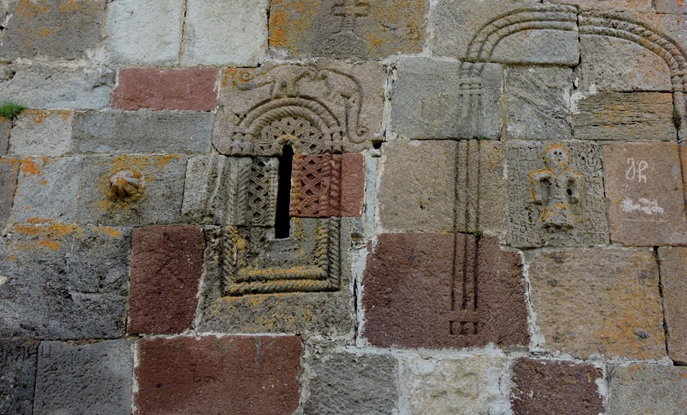
The walls on the outside are decorated with stone carvings: images of man and mysterious animals …
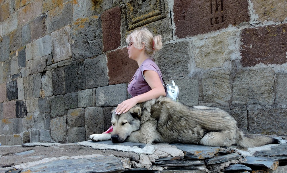
And this is the local guard. Despite the formidable look, very sweet and kind. You can pet him.
Leaving Gergeti …
We photograph Kazbek from above…
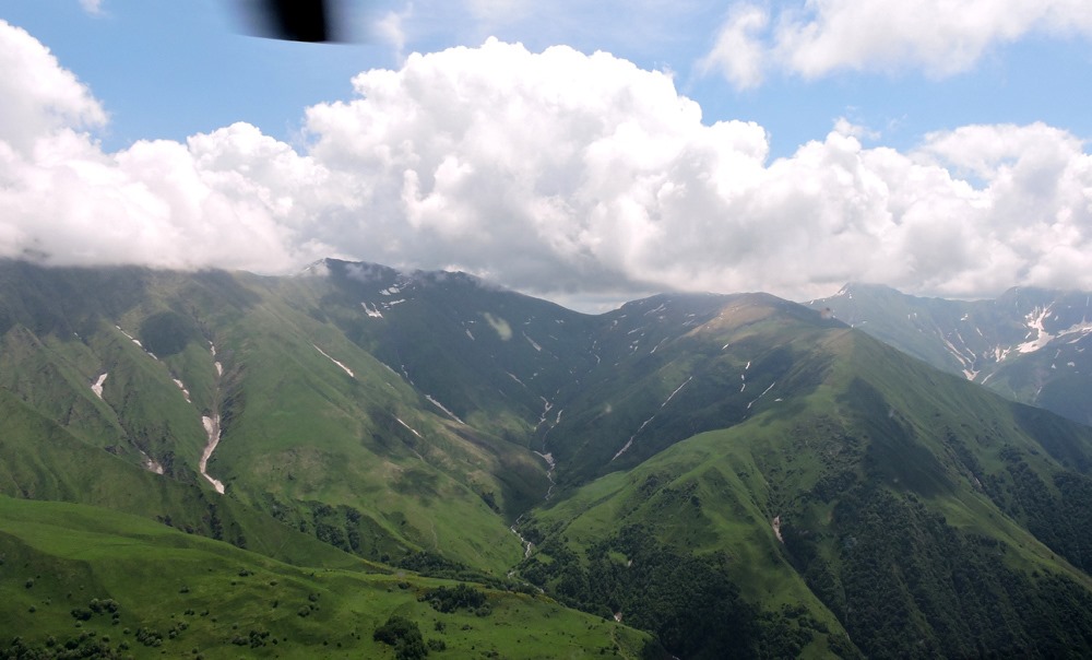
And go in the direction of Khevsureti.
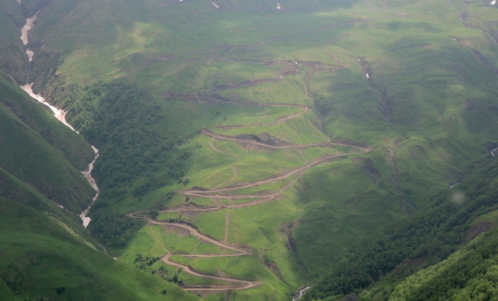
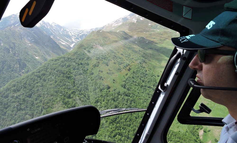
We fly up to the pass separating the southern and northern parts of this region. See the winding road?! It leads to its top.
The way there takes at least 3 hours on the ground. We pass it in minutes.
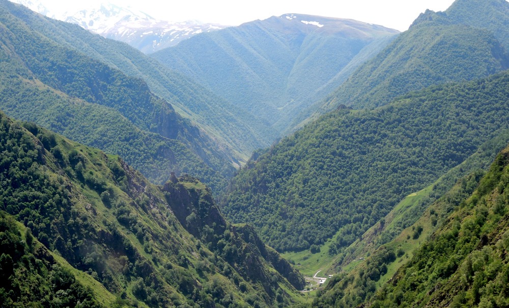
And here we are on the northern side of the Greater Caucasus. Khevsurs call it “Khevsureti peer-ikita”, which means “that side”. We go over the Argun gorge to Shatili.
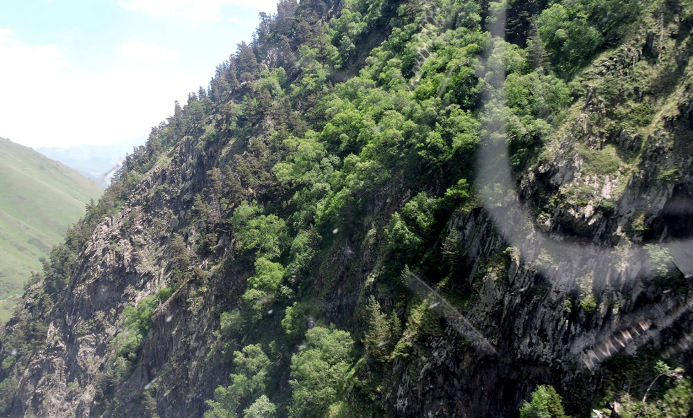
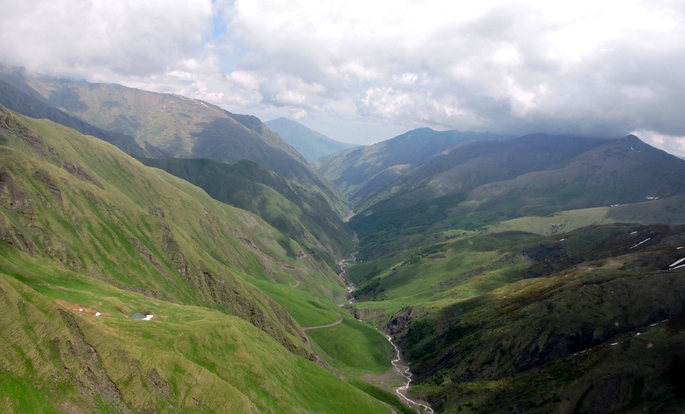
The path runs along the high cliffs.
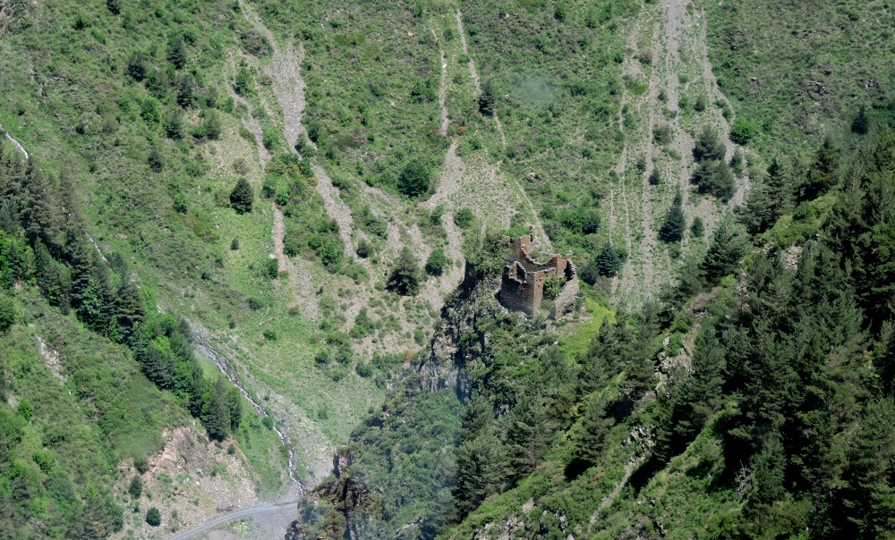
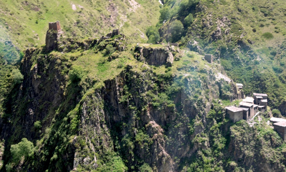
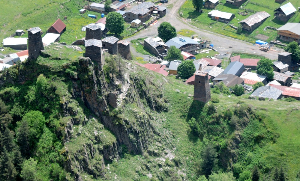
And here is the first fortress, or rather remains of it. These lands are filled with this kind of structures.
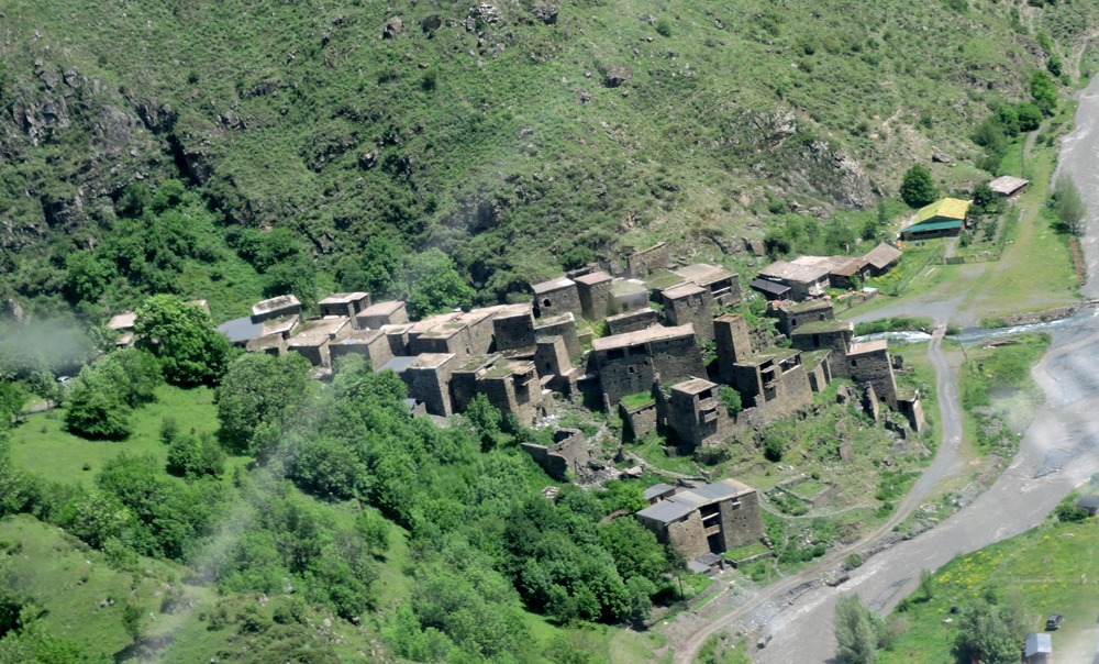
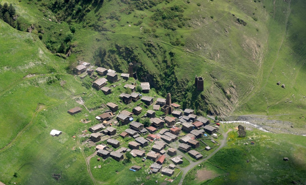
And here is Shatili, an ancient fortress settlement – the heart of northern Khevsureti.
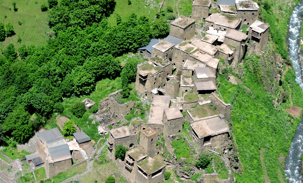
We fly around the fortress …
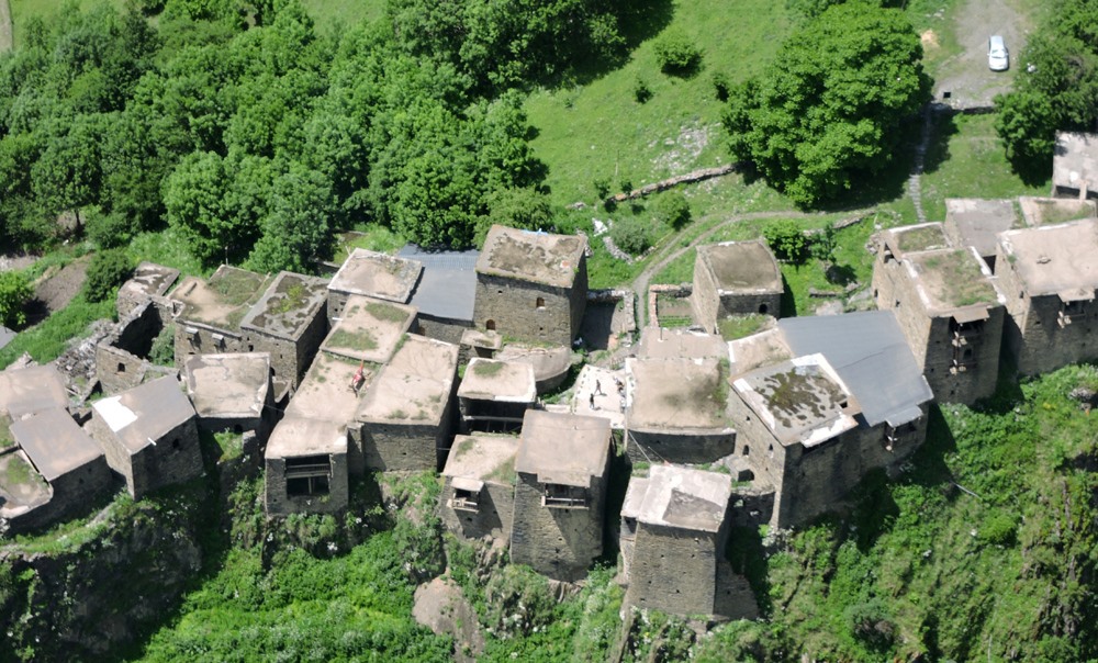
Taking photos from a low altitude …
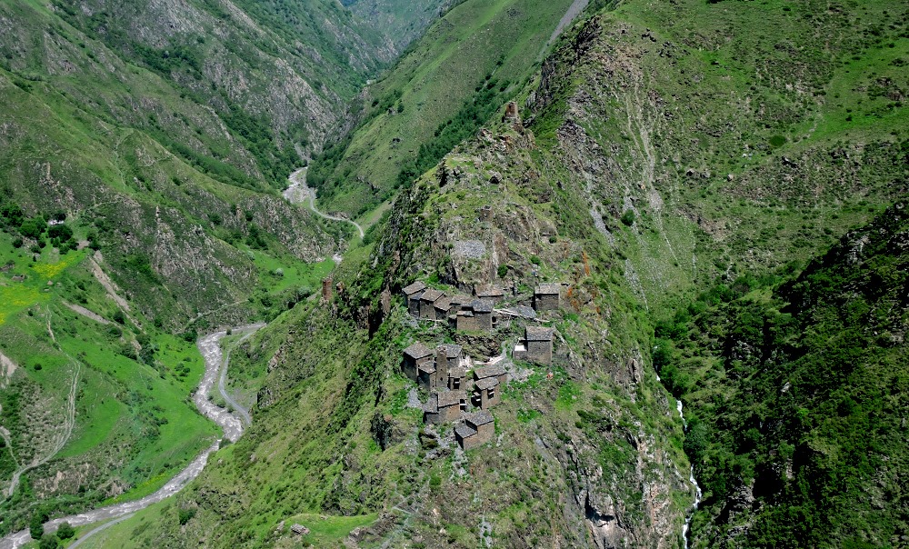
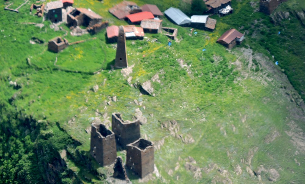
And we continue towards the fortress Mutso.
There it is in the distance below to the left, at the top of an inaccessible rock.
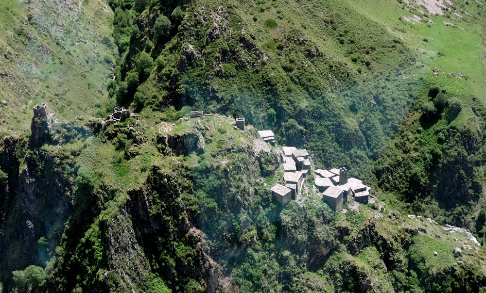
This is a completely mystical place. Merab Ratishvili, author of the “White Lama” novel, claims that Mutso is one of the seven entrances to Shambhala.
We make a circle over this great antiquity, so that passengers have the opportunity to take photos as a souvenir …
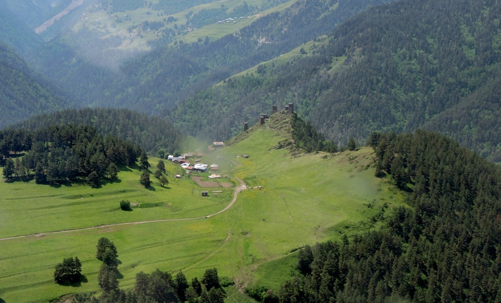
And leave Khevsureti …
… And we are heading towards another mountainous region of Georgia – Tusheti.
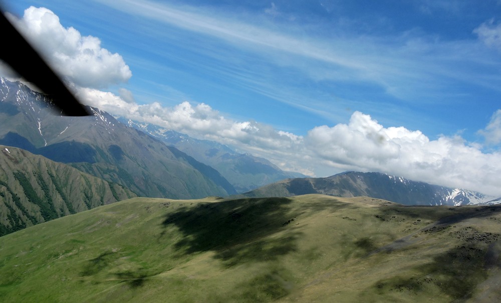
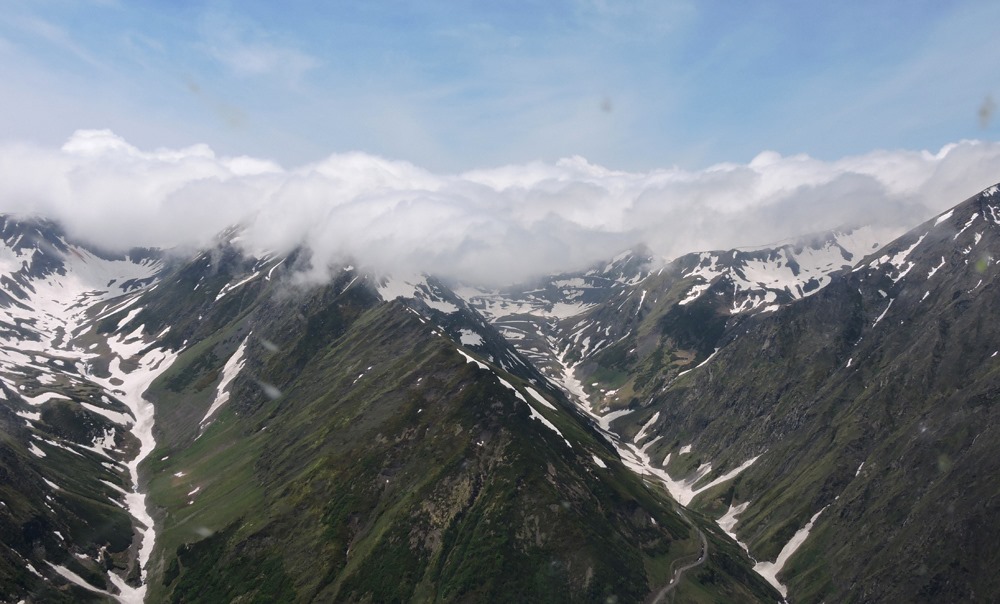
Overcoming the high mountain pass. Here we are making a few laps to gain altitude – 11,000 feet
And we find ourselves in the land of Tushetians.
And here is their first settlement.
We take a photo.
In the distance, the famous village of Omalo, the center of the region of Tusheti.
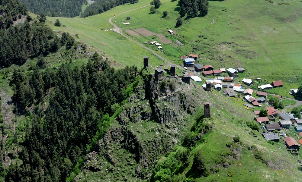
The original architecture is completely different than in Khesureti despite the distance of only 60 km!
Photos from a low altitude.
And then – to the Alazani Valley
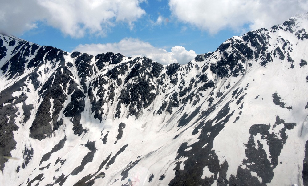
The Abano Pass is closed by clouds, so we are gaining height …
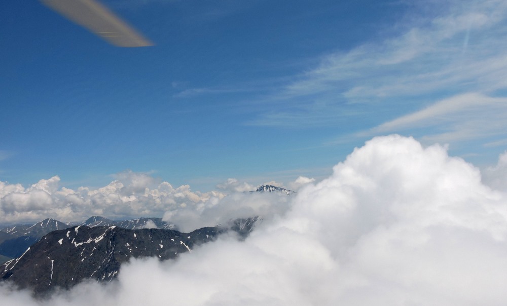
And we pass over them.
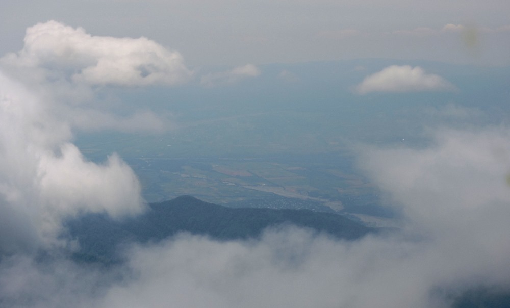
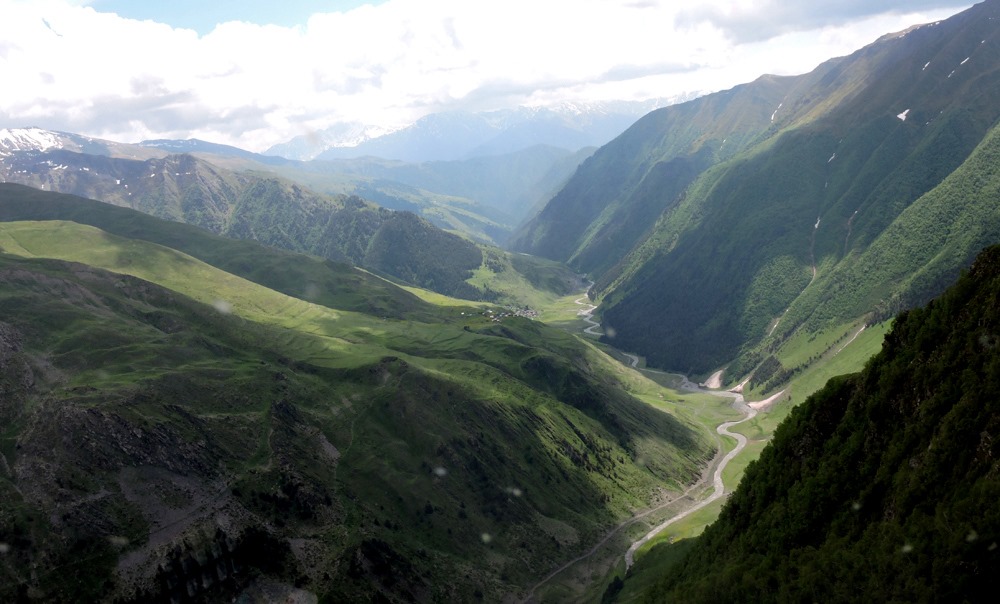
And here is the Alazani Valley in the distance in a haze of fog.
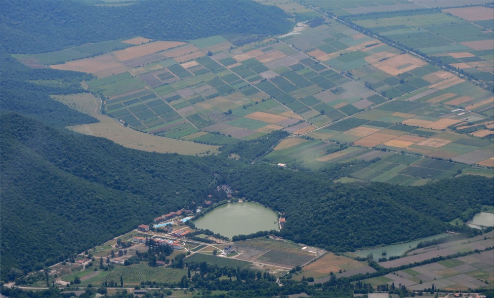
We enter Alazani next to the famous resort Lopota Lake and head through the whole valley to Tsinandali.
Here, in front of the princes Chavchavadze residence, we land. Fantastic adventure! The tour took 3.5 hours, but we have seen so much!


 30-3, Vladimir Gabashvili st. 0162 Tbilisi, Georgia
 (+995 599) 40 66 99
 info@skytravel.ge
